Hiking the Danube Valley & Innviertel
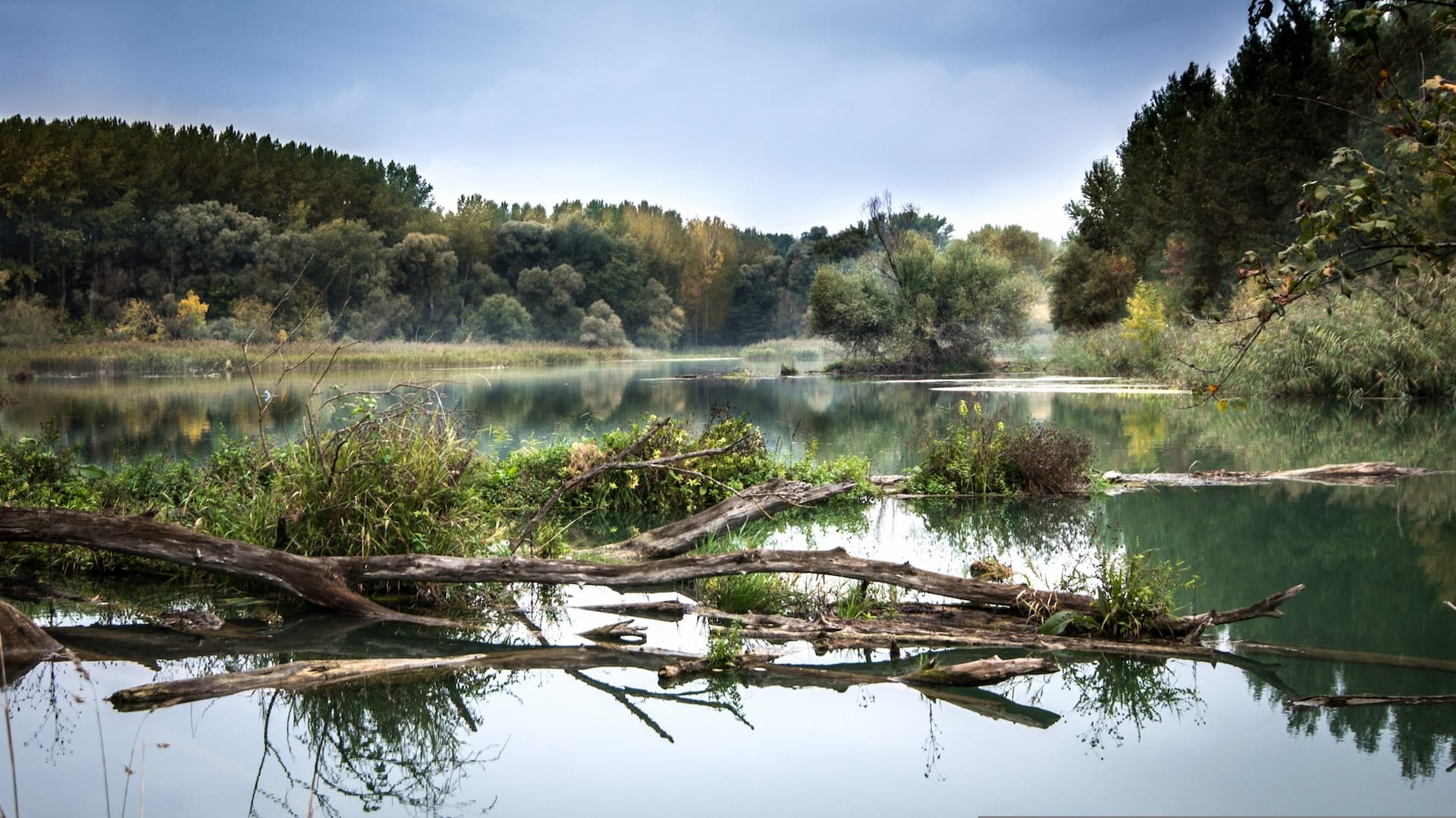
Quiet Trails, Historic Places, Timeless Landscapes
Few international travelers venture into this corner of Upper Austria, where quiet trails lead through forested uplands, broad river valleys, and centuries-old landscapes. Join me on a hike through the Sauwald, Innviertel, and Upper Danube Valley as we follow a section of the Donausteig, discover historic castles and market towns, and experience an Austria shaped not only by mountains, but by rivers, history, and tradition..
The Danube Valley
Flowing from Germany's Black Forest to the Black Sea, the Danube is Europe's second-longest river and the only major river in the world to pass through ten countries. Along its journey, it has shaped some of the continent's most remarkable landscapes—including the Upper Danube Valley of Upper Austria.
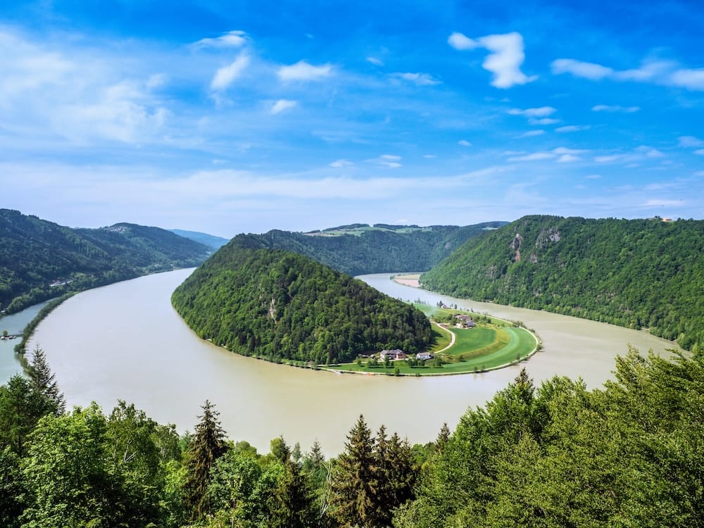
One of the valley's defining landmarks is the Schlögener Schlinge (Schlögen Bend), where the Danube encounters the ancient granite of the Bohemian Massif and is forced into a dramatic double curve. Rather than cutting straight through the landscape, the river winds around a forested ridge, creating one of Central Europe's most distinctive river panoramas.
A short walk leads to the Schlögen Viewpoint, where the broad ribbon of water loops through a mosaic of forests, meadows, and cultivated fields. It is a landscape shaped by both nature and centuries of human presence—one that invites visitors to slow down and follow the rhythm of the river.
The Donausteig: Following the Danube
During our hike through the Sauwald and Upper Danube region, we followed a short section of the Donausteig, a popular long-distance hiking trail that begins in Passau, Bavaria, and follows both banks of the Danube into Upper Austria. Stretching for around 450 kilometres (280 miles), the trail passes through forests, river valleys, historic towns, and some of the Danube's most spectacular scenery.
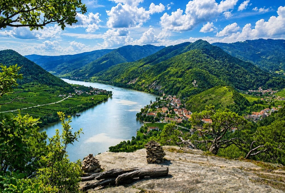
Rather than staying beside the river, the Donausteig often climbs into the surrounding hills, where panoramic viewpoints alternate with quiet woodland paths and traditional farming landscapes. Castles, monasteries, and centuries-old villages appear throughout the journey, each connected by the river that has shaped this region for generations.
Although we walked only a small section of the trail, it perfectly captured the spirit of the Donausteig. Every climb revealed another view of the Danube, reminding us that some of the river's finest landscapes are best discovered on foot.
The Sauwald
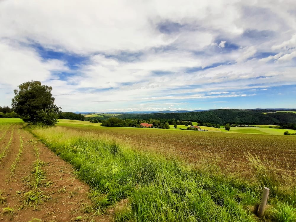
Tucked away in Austria’s northwestern corner, the Sauwald is one of Central Europe’s hidden upland landscapes. Forming the largest part of the ancient Bohemian Massif south of the Danube in Upper Austria, the Sauwald is a broad, forested plateau near the German border.
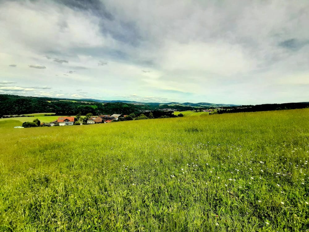
Far from the crowded Alpine destinations that define Austria in the popular imagination, the Sauwald offers a gentler beauty of forested ridges, rolling farmland, and quiet villages. The region is a traditional cultural landscape, a mosaic of forests and farmland shaped by generations of farming.
An interesting local detail is its name. While Sauwald is commonly translated as “Woods of the Pigs,” a reference often linked to wild boar, historians believe the name evolved from the older term Passauer Wald (“Passau Forest”), reflecting the region's centuries-old ties to the nearby city of Passau. For travellers drawn to places beyond the guidebooks, the Sauwald offers authenticity, tranquillity, and quiet discovery.
The Innviertel
Situated between the rivers Inn, Danube, and Salzach, the Innviertel is a distinctive corner of Upper Austria shaped by both Austrian and Bavarian (German) influences. Until 1779, the region belonged to Bavaria, a legacy still visible in its colorful townscapes, traditions, and celebrated brewing culture.
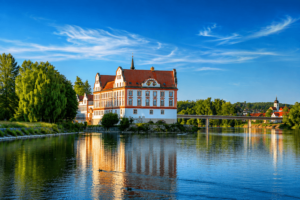
The region encompasses a diverse landscape, from the broad forested plateau of the Sauwald and its traditional mosaic of forests and farmland to the fertile plains, floodplain forests, and historic towns along the Inn. Among them, Schärding stands out for its elegant Baroque architecture and pastel-colored facades overlooking the river.
Water has long shaped life here. Along the lower Inn, wetlands and nature reserves provide important habitats for migratory birds and other wildlife. Together, these varied landscapes create a region that remains deeply connected to its agricultural roots while offering a quieter and less familiar face of Austria—one defined by rivers, culture, and centuries of history.
Getting There
The Sauwald, Innviertel, and Upper Danube Valley are located in northwestern Upper Austria, close to the border with Bavaria in Germany. Often called the gateway to the Innviertel, the historic town of Schärding lies on the River Inn directly opposite Bavaria, roughly halfway between the Bavarian city of Passau and the Upper Austrian capital of Linz. The town marks the transition from the rolling hills and forested plateaus of the Sauwald to the fertile plains of the Inn Valley, while the Danube flows through the northern part of the region.
For international visitors, the easiest access points are the airports in Munich, Salzburg, and Linz, all within a comfortable driving distance. By rail, regular connections link the region to Austria's and Germany's major cities, with Schärding serving as a convenient gateway.
The area is best explored by car, allowing visitors to discover its quiet villages, scenic river valleys, forested plateaus, and hidden viewpoints at their own pace.
Discover places you never knew existed. Misty Forests explores the hidden corners of Central Europe through nature, heritage, and travel inspiration.